Deeper Discounts on Sale shoes!
Your cart is currently empty
Product image slideshow Items
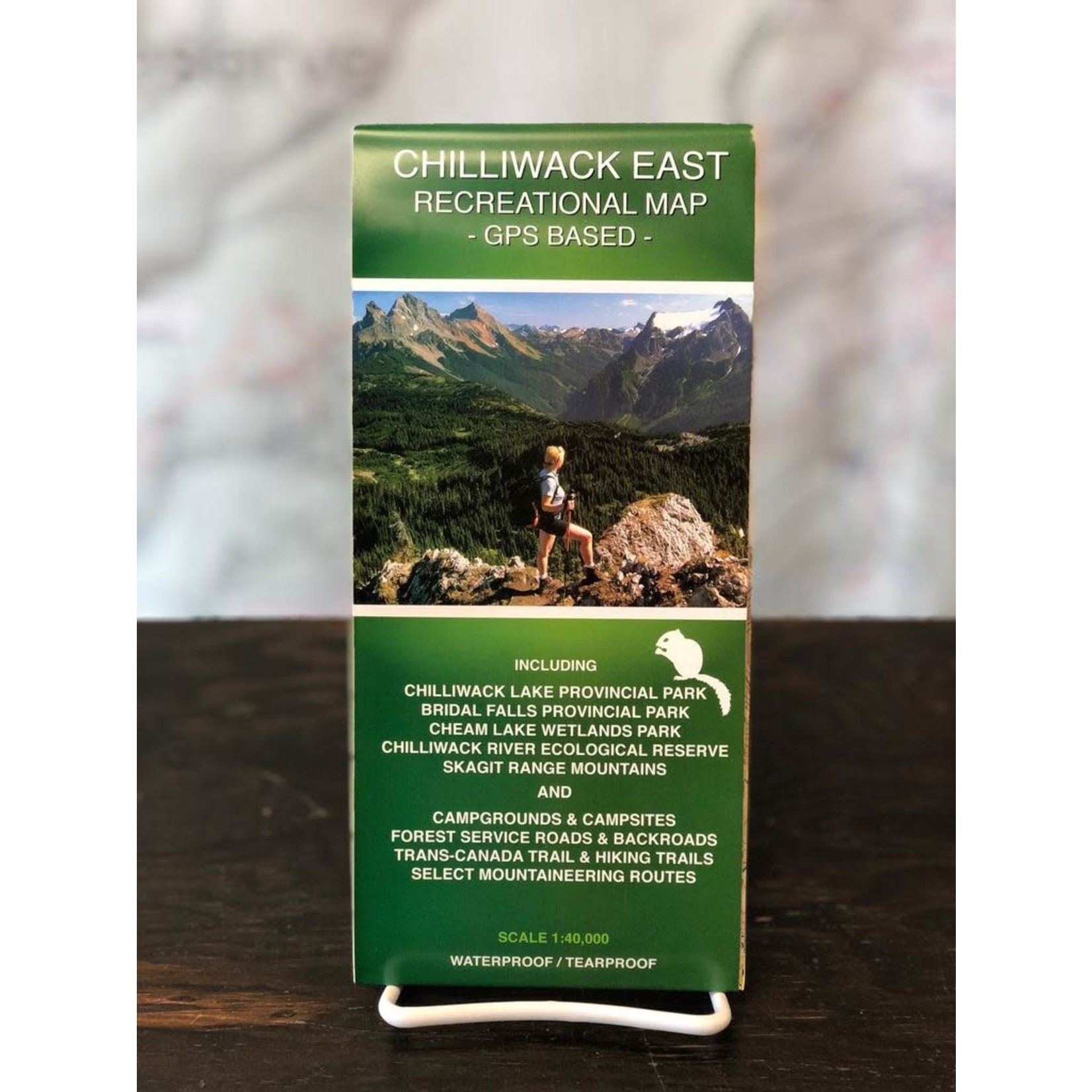
The first ever accurate GPS-based map of the Chilliwack East (Skagit Range) area including access roads and highways, forest service roads, tracks, trails and mountaineering routes (MR). Roads and trails are qualified to enable best route finding.
Available in store
Close
Includes Chilliwack Lake Provincial Park, Bridal Veil Falls Provincial Park, Chilliwack River Ecological Reserve, and Cheam Lake Wetlands Regional Park. For camping, hiking, fishing, whitewater kayaking, rafting, paragliding, and mountaineering activities. Also for motorized activities including 4-wheeling, quad riding, and dirt biking.
These Chilliwack hiking trail maps (including back roads) will appeal to hiking, mountaineering, horseback riding, mountain biking, snowshoeing, fishing, rafting and kayaking enthusiasts. These Chilliwack hiking trails & forest service road (FSR) maps are also useful for out-of-park activities involving dirtbike, quad & 4WD in back road areas such as Vedder Mountain and Chipmunk Creek.
EAST CHILLIWACK HIKING TRAIL MAP (Recreational Map) – GPS Based